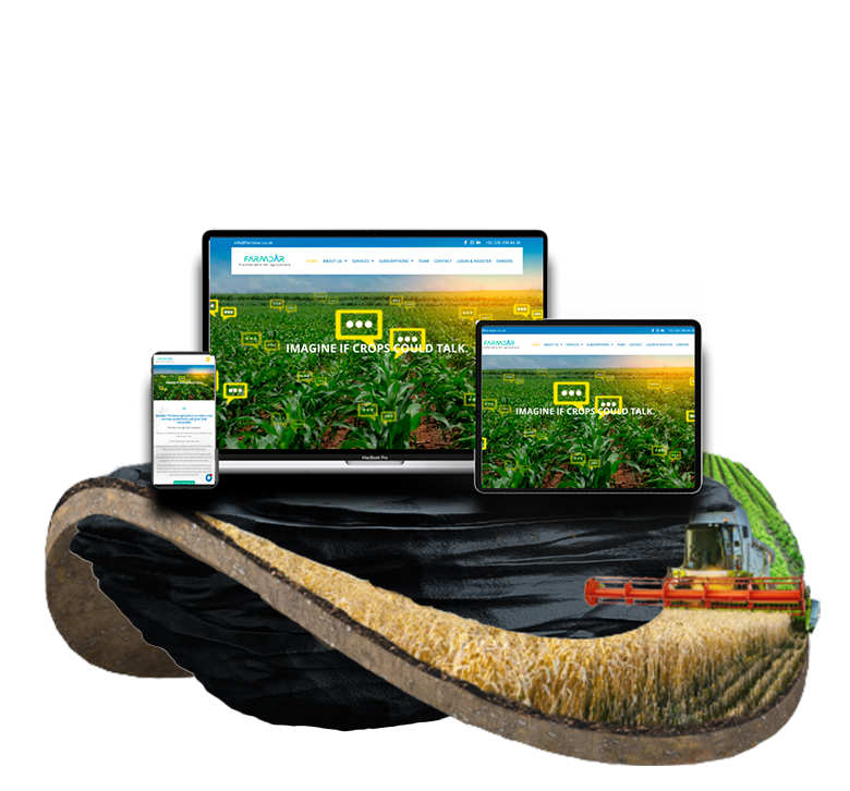
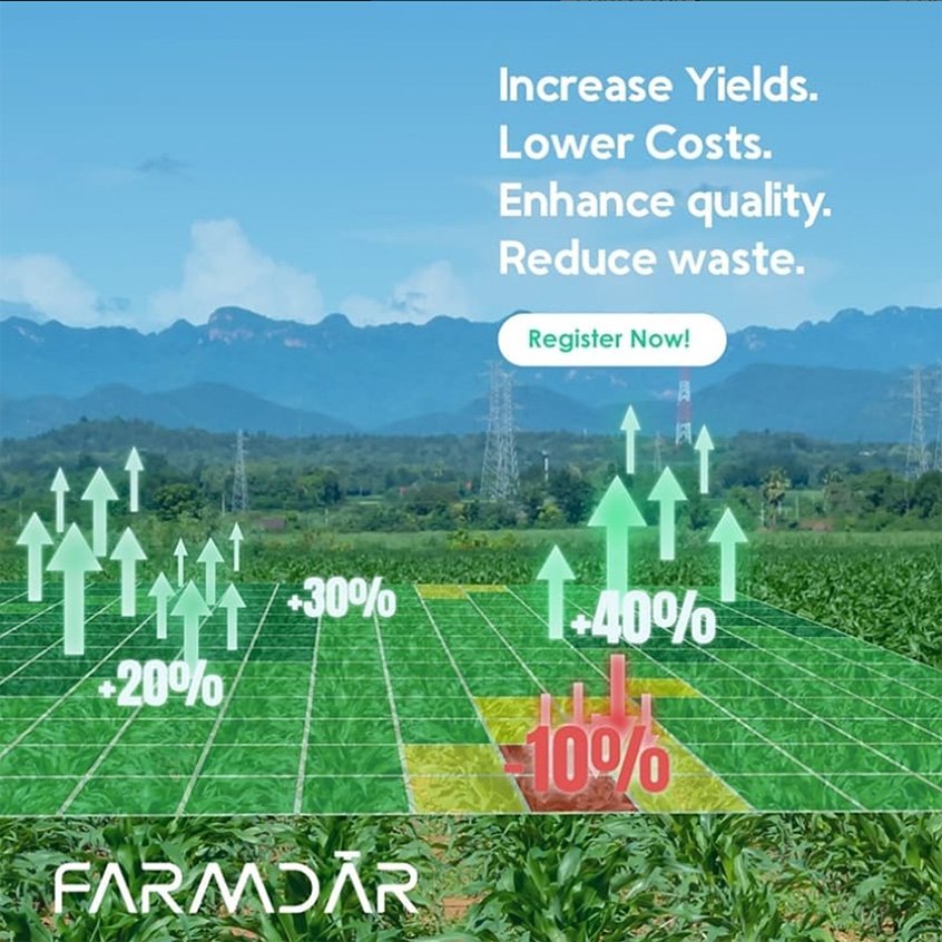
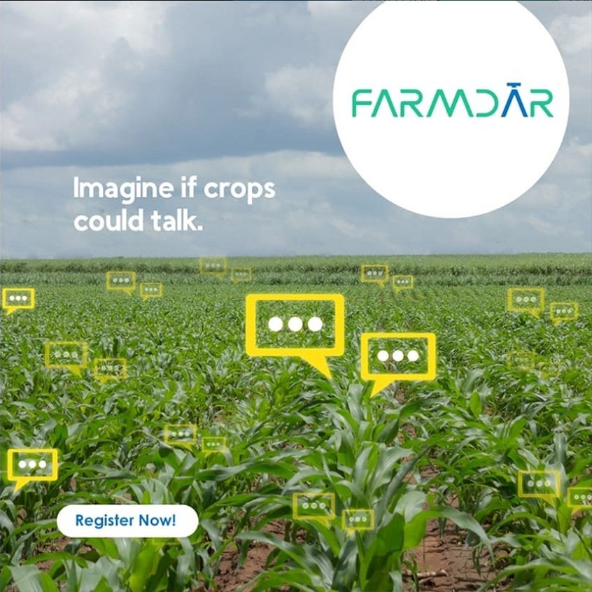
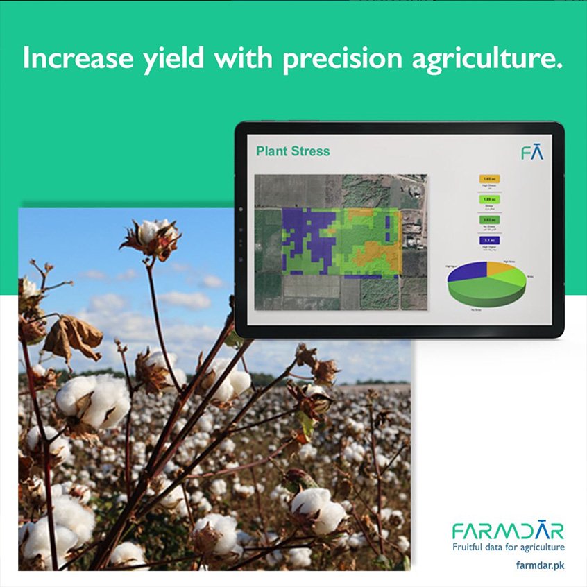
Farmdar is an agri-tech company. that gives the power of precision agriculture by providing accurate data on your crops. It’s like hearing your crops talk to you. If you’re a farmer, our data can help you monitor your crops remotely, reduce farming costs, increase yield and reduce waste. For large agri-businesses, they can tell you the exact acreage and geo-coordinates of your desired crops across hundreds of kilometers, their sowing time, weekly harvest monitoring and even the variety.

Farmdar

Karachi, PK

March 2021
Farmdar was following a manual process through which it was mapping the data on an google doc sheet to display manually configured maps to its customers via satelite data extracted from their drones for soil density and other configurations. This was cumbersome and could not cater to multiple clients in one go, also increasing the turn around time.
The system had too many integrations such as the dron scans, GIS systems, their manual sheets and formats. The second step was the clients were mostly farmers and land owners who werent tech savvy which created issues in them understanding how the system would work or what benefits would it provide.
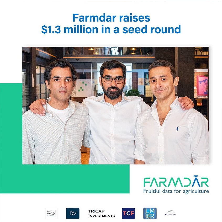
We extracted API's from the GIS system and integrated them with custom API's to fetch data to and from the drone systems to create visually appealing maps. The Web application was also created in a very user friendly manner helping customers in a step by step process to input their data. The system went on to recieve $1.3 million seed money to futher its processes and distribution channels in Pakistan catering to customers across the globe.
Sign up for my newsletter to get latest updates. Do not worry, we will never spam you.